Argentina vs. Algeria: A Transatlantic Size Comparison
See how Argentina and Algeria compare in land area, and why map projections can make their sizes look different than they really are.
Map2Maps Team
Argentina and Algeria are the second-largest countries in South America and Africa, respectively. Argentina is the larger of the two, though map projections often obscure the difference.
The Numbers: Argentina vs. Algeria
- Argentina's area: 2,780,400 square kilometers (1,073,518 square miles)
- Algeria's area: 2,381,741 square kilometers (919,595 square miles)
- Population: Argentina ~46 million, Algeria ~45 million
- Location: Argentina in South America, Algeria in North Africa
Quick Comparison: - Argentina is about 17% larger than Algeria by land area - Argentina is the second largest country in South America after Brazil; Algeria is the largest country in Africa
Size Context and Rankings
Both countries rank among the world's largest:
- Argentina: 8th largest country globally
- Algeria: 10th largest country globally
- Size difference: Argentina is 398,659 km² larger (about the size of Germany)
Why Maps Can Be Misleading
Map projections affect how these countries appear. Argentina's southern latitude (extending to 55°S) causes Mercator projections to exaggerate its size, while Algeria's position closer to the equator (19°N to 37°N) shows more accurate proportions.
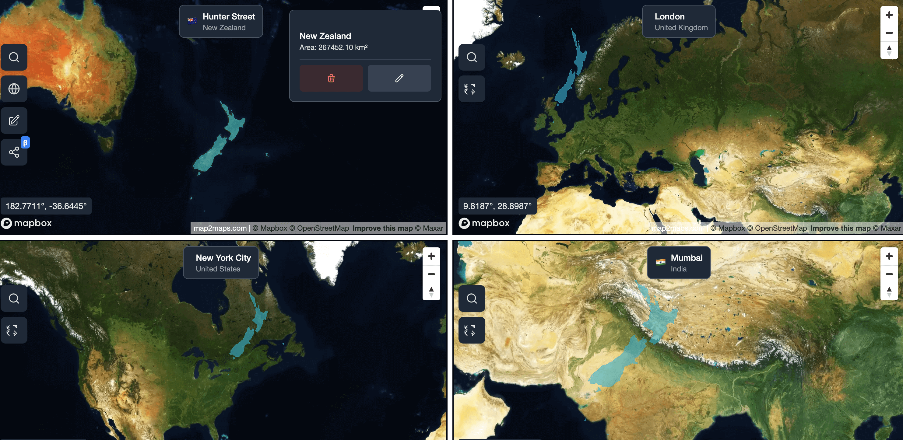
Select Argentina and Algeria on the map to see their true sizes side by side.
Sponsored
Products we use and recommend
Support Map2Maps by checking out these tools.
Send money internationally with Wise
Save up to 6x on international transfers with real exchange rates
Learn Languages with Langi.app
Read bite-sized stories with audio to learn languages at your level
Ship faster with bunny.net
Global CDN, storage, and media delivery tools that keep websites and video fast worldwide.
Move faster with Raycast
A keyboard-first launcher with extensions, snippets, and AI to speed up everyday work.
Build referral programs with Refgrow
A referral program platform for SaaS and AI products with automated tracking, commission management, and payouts.
Final Thoughts
Argentina and Algeria are both vast countries with diverse landscapes. Argentina covers more land area by a significant margin—about 17%—which becomes clear when using accurate map projections.
Use our interactive map tool to compare Argentina and Algeria with any country or region in the world.
For more size comparisons, see how Brazil compares to India or how European giants like France and Ukraine measure up. You can also see how island nations compare in our Madagascar and New Zealand size guides.
Related Articles
How Big is Brazil Compared to India? A Map Projection Perspective
Compare the true size difference between Brazil and India, and how map projections can make them appear more similar than they really are.
Egypt vs. Turkey: Comparing Two Crossroads of Continents
See how Egypt and Turkey compare in land area, and why map projections can make their sizes look different than they really are.
How Big is Madagascar Really? A Map Projection Perspective
See the true size of Madagascar and how different map projections make this island nation appear larger or smaller than it actually is.
Explore for Yourself
Ready to dive deeper? Use our interactive tools to compare countries, explore map projections, and see these geographic concepts in action.