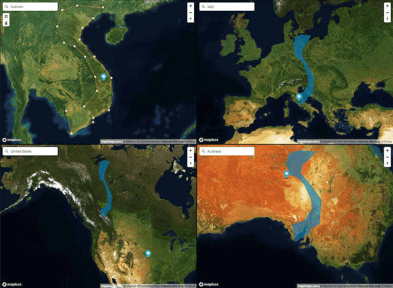
How Big is New Zealand Really? A Map Projection Perspective
Discover the true size of New Zealand and how different map projections make this island nation appear larger or smaller than it actually is.
Discover how different map projections affect the size and shape of geographical areas. Compare countries and custom shapes across multiple map views in real-time.
Everything you need to compare maps
Map2Maps provides intuitive tools for comparing geographical areas across different map projections.
Draw polygons or select entire countries to compare their sizes across different maps
Compare your shapes across up to 4 different map views simultaneously
Switch between satellite, street, light, and dark map styles
Start comparing in three simple steps
Discover Geographic Insights
Explore fascinating articles about geography, map projections, and how the world really looks.
Discover the true size of New Zealand and how different map projections make this island nation appear larger or smaller than it actually is.
Discover the true size of Madagascar and how different map projections make this island nation appear larger or smaller than it actually is.